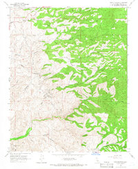
1965 Map of Pine Mountain
USGS Topo · Published 1966About this map
Granite Station serves as a lone point of settlement in this transitional Kern County landscape, where the Sierra Nevada foothills descend toward the Central Valley. The map captures a moment in the mid-1960s when the region's economy was anchored by natural resource extraction, notably at the Round Mountain Oil Field in the southwest corner and the Long Tom Mine further north. The terrain is deeply dissected by drainage systems including Adobe Canyon, Sycamore Canyon, and the winding Poso Creek, creating a complex network of ridges and gulches that dictated the placement of early infrastructure.
Find a feature on this map
26 named features on this map. Tap any name to fly to it.
Don’t see what you’re looking for? This feature index may not catch every label — zoom into the map to look around manually.
Map Details
Editions of this 1965 Pine Mountain Map
2 editions found
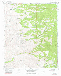
Other maps of this area

1906 · Bakersfield
USGS Topo · 1:62,500

1914 · Caliente
USGS Topo · 1:125,000

1920 · Delonagha
USGS Topo · 1:62,500

1926 · Glennville
USGS Topo · 1:62,500

1932 · Woody
USGS Topo · 1:62,500
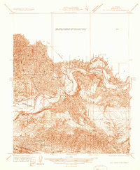
1933 · Oil Center
USGS Topo · 1:31,680

1935 · Woody
USGS Topo · 1:62,500

1936 · Tobias Peak
USGS Topo · 1:125,000
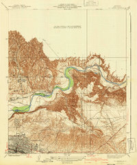
1940 · Oil Center
USGS Topo · 1:31,680

1943 · Breckenridge Mountain
USGS Topo · 1:62,500