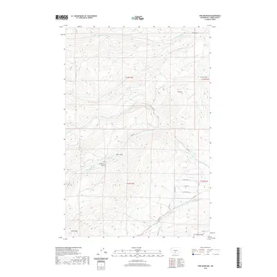
2020 Map of Pine Mountain
USGS Topo · Published 2020About this map
Pine Mtn and Cowiche Mtn anchor the high country of Yakima County in this modern survey of the Cascades' eastern slopes. The landscape is defined by the parallel drainage systems of the S Fork Cowiche Cr and the N Fork Ahtanum Cr, which have carved deep features like Bear Canyon and Carpenter Gulch into the volcanic terrain. Evidence of early land management and water rights appears in the presence of the John Cox Ditch, while the network of unpaved tracks such as Nasty Creek Rd and Cowiche Mill Rd follows the historical paths of the timber and ranching industries. The map illustrates the transition from the high ridges of Sedge Ridge and Ahtanum Ridge down toward the managed agricultural valleys that characterize this part of Washington.
Find a feature on this map
29 named features on this map. Tap any name to fly to it.
Don’t see what you’re looking for? This feature index may not catch every label — zoom into the map to look around manually.
Map Details
Editions of this 2020 Pine Mountain Map
This is the sole edition of this map. No revisions or reprints were ever made.
Other maps of this area

1899 · Ellensburg
USGS Topo · 1:125,000

1901 · Ellensburg
USGS Topo · 1:125,000

1902 · Mount Aix
USGS Topo · 1:125,000

1904 · Mt Aix
USGS Topo · 1:125,000

1904 · Mount Adams
USGS Topo · 1:125,000

1907 · Mount Adams
USGS Topo · 1:125,000

1937 · White Swan
USGS Topo · 1:125,000

1950 · Yakima
USGS Topo · 1:250,000

1957 · Yesmowit Canyon
USGS Topo · 1:24,000

1958 · Fort Simcoe
USGS Topo · 1:62,500