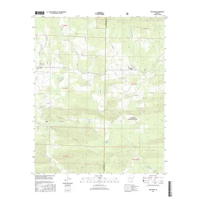
2017 Map of Pine Ridge
USGS Topo · Published 2017About this map
The Ouachita River snakes through the center of this western Arkansas landscape, where the ridges and valleys of the Ouachita National Forest define the settlement patterns. Small communities like Pine Ridge and Cherry Hill are situated along the main corridors, while the southern reaches of the map show the more dispersed settlement of Opal. The terrain is deeply carved by water, with Big Fork and Kates Cr flowing through steep-sided hollows toward the main river valley.
Find a feature on this map
68 named features on this map. Tap any name to fly to it.
Don’t see what you’re looking for? This feature index may not catch every label — zoom into the map to look around manually.
Map Details
Editions of this 2017 Pine Ridge Map
This is the sole edition of this map. No revisions or reprints were ever made.
Other maps of this area

1890 · Mount Ida
USGS Topo · 1:125,000

1890 · Poteau Mountain
USGS Topo · 1:125,000

1899 · Poteau Mountain
USGS Topo · 1:125,000

1906 · Caddo Gap
USGS Topo · 1:125,000

1913 · De Queen
USGS Topo · 1:125,000

1936 · Athens
USGS Topo · 1:48,000

1942 · Athens
USGS Topo · 1:62,500

1950 · Mcalester
USGS Topo · 1:250,000

1955 · Little Rock
USGS Topo · 1:250,000

1956 · Little Rock
USGS Topo · 1:250,000