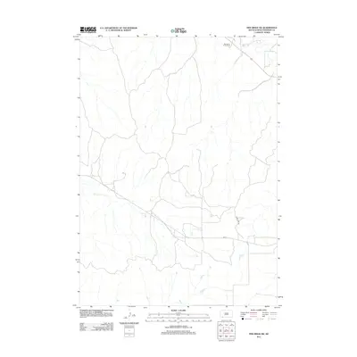
2012 Map of Pine Ridge SW
USGS Topo · Published 2012About this map
Tashunke-Ko Ki-Pa-Pi Cem sits near the northern boundary of this southwest Pine Ridge landscape, offering a vital reference point for genealogists and local historians. The terrain is defined by the winding paths of White Clay Cr and Janis Cr, which carve through the open country of South Dakota's Oglala Lakota County. Modern transportation and management routes like Bia 32 and the Oglala Fire Trl provide the primary framework for navigating this rural expanse. This 2012 survey illustrates the sparse but critical infrastructure maintained by the Bureau of Indian Affairs, documenting the essential water sources and specialized trail networks that support the region's ranching and community life.
Find a feature on this map
5 named features on this map. Tap any name to fly to it.
Don’t see what you’re looking for? This feature index may not catch every label — zoom into the map to look around manually.
Map Details
Editions of this 2012 Pine Ridge SW Map
This is the sole edition of this map. No revisions or reprints were ever made.
Other maps of this area

1955 · Hot Springs
USGS Topo · 1:250,000

1955 · Alliance
USGS Topo · 1:250,000

1957 · Alliance
USGS Topo · 1:250,000

1958 · Alliance
USGS Topo · 1:250,000

1967 · Pine Ridge SW
USGS Topo · 1:24,000

1967 · Pine Ridge NE
USGS Topo · 1:24,000

1967 · Pine Ridge
USGS Topo · 1:24,000

1967 · Oglala
USGS Topo · 1:24,000

1967 · Slim Butte NE
USGS Topo · 1:24,000

1967 · Slim Butte
USGS Topo · 1:24,000