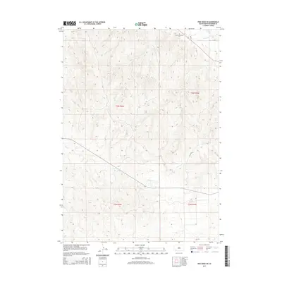
2015 Map of Pine Ridge SW
USGS Topo · Published 2015About this map
The Tashnke-Ko-Ki-Pa-Pi Cem sits in the northern portion of this landscape within the Pine Ridge Indian Reservation, serving as a significant site for local family history and genealogy. The terrain is defined by a dense network of drainages including White Clay Cr and the winding course of Janis Cr. Transportation across this section of the High Plains is limited to a few Bureau of Indian Affairs routes such as Bia-31 and Bia-30. The southern reaches are marked by the Oglala Fire Trl, which cuts through the hills. This survey documents the area's rural character and land division, showing the township and range lines for T36N R45W, T36N R46W, T35N R46W, and T35N R45W.
Find a feature on this map
10 named features on this map. Tap any name to fly to it.
Don’t see what you’re looking for? This feature index may not catch every label — zoom into the map to look around manually.
Map Details
Editions of this 2015 Pine Ridge SW Map
This is the sole edition of this map. No revisions or reprints were ever made.
Other maps of this area

1955 · Hot Springs
USGS Topo · 1:250,000

1955 · Alliance
USGS Topo · 1:250,000

1957 · Alliance
USGS Topo · 1:250,000

1958 · Alliance
USGS Topo · 1:250,000

1967 · Pine Ridge SW
USGS Topo · 1:24,000

1967 · Pine Ridge NE
USGS Topo · 1:24,000

1967 · Pine Ridge
USGS Topo · 1:24,000

1967 · Oglala
USGS Topo · 1:24,000

1967 · Slim Butte NE
USGS Topo · 1:24,000

1967 · Slim Butte
USGS Topo · 1:24,000