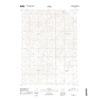
2017 Map of Pine Ridge SW
USGS Topo · Published 2017About this map
Tashnke-Ko-Ki-Pa-Pi Cem stands in the northern reaches of Oglala Lakota County, a significant cultural and genealogical marker on this Oglala Sioux Tribe land. The terrain is defined by a intricate system of drainages and intermittent waterways, including Janis Cr, which snakes through the southern sections of the township. This 2017 survey documents the modern road network essential for navigating the interior of the reservation, from the primary corridor of BIA Hwy 32 to specialized routes like the Oglala Fire Trl. The map illustrates a landscape primarily organized by ranching and resource management, with local access provided by Slim Buttes Rd and Buffalo Pasture Rd. This geography provides a detailed view of the modern infrastructure and natural hydrology within the Pine Ridge Indian Reservation.
Find a feature on this map
12 named features on this map. Tap any name to fly to it.
Don’t see what you’re looking for? This feature index may not catch every label — zoom into the map to look around manually.
Map Details
Editions of this 2017 Pine Ridge SW Map
This is the sole edition of this map. No revisions or reprints were ever made.
Other maps of this area

1955 · Hot Springs
USGS Topo · 1:250,000

1955 · Alliance
USGS Topo · 1:250,000

1957 · Alliance
USGS Topo · 1:250,000

1958 · Alliance
USGS Topo · 1:250,000

1967 · Pine Ridge SW
USGS Topo · 1:24,000

1967 · Pine Ridge NE
USGS Topo · 1:24,000

1967 · Pine Ridge
USGS Topo · 1:24,000

1967 · Oglala
USGS Topo · 1:24,000

1967 · Slim Butte NE
USGS Topo · 1:24,000

1967 · Slim Butte
USGS Topo · 1:24,000