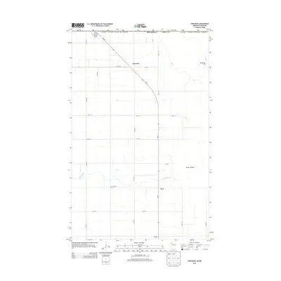
2013 Map of Pinecreek
USGS Topo · Published 2013About this map
The Canada / United States of America border defines the northern edge of this Roseau County landscape, where the international boundary is marked by the unique Piney Pinecreek Border Airport. This facility straddles the line between Minnesota and Manitoba, serving the small settlement of Pinecreek. To the south, the village of Ross sits along the winding course of the Roseau River, which meanders through a low-lying region dominated by the expansive Roseau Lakebed. The terrain is predominantly flat, typical of the glacial lake plains in northern Minnesota, with the notable exception of Minnesota Hill rising to the northeast. Local history is anchored by sites such as Concordia Cem near the river and Mellum Cem further south, while MN-89 provides the primary north-south transit corridor through the rural section-line road grid.
Find a feature on this map
22 named features on this map. Tap any name to fly to it.
Don’t see what you’re looking for? This feature index may not catch every label — zoom into the map to look around manually.
Map Details
Editions of this 2013 Pinecreek Map
This is the sole edition of this map. No revisions or reprints were ever made.
Other maps of this area

1918 · Roseau
USGS Topo · 1:62,500

1919 · Badger
USGS Topo · 1:62,500

1952 · Thief River Falls
USGS Topo · 1:250,000

1954 · Roseau
USGS Topo · 1:250,000

1956 · Thief River Falls
USGS Topo · 1:250,000

1957 · Roseau
USGS Topo · 1:250,000

1957 · Thief River Falls
USGS Topo · 1:250,000

1958 · Roseau
USGS Topo · 1:250,000

1963 · Kenora
USGS Topo · 1:250,000
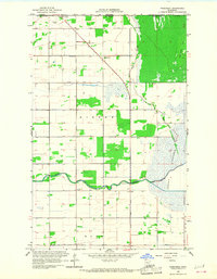
1966 · Pinecreek
USGS Topo · 1:24,000