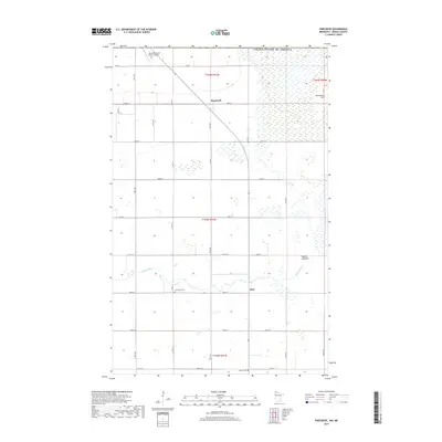
2019 Map of Pinecreek
USGS Topo · Published 2019About this map
Piney Pinecreek Border Airport anchors the northern edge of this Roseau County survey, highlighting the unique trans-border infrastructure shared with Canada. The landscape is defined by the slow meander of the Roseau River, which transitions into the expansive Roseau Lakebed to the east, a significant regional hydrologic feature. The small settlements of Pinecreek and Ross provide focal points for local history, connected by a rigid grid of section roads like Co Rd 112 and 310th Ave. Genealogists may find value in the locations of Concordia Cem and Mellum Cem, while the slight rise of Minnesota Hill provides one of the few prominent topographic breaks in the surrounding wetlands and agricultural fields.
Find a feature on this map
33 named features on this map. Tap any name to fly to it.
Don’t see what you’re looking for? This feature index may not catch every label — zoom into the map to look around manually.
Map Details
Editions of this 2019 Pinecreek Map
This is the sole edition of this map. No revisions or reprints were ever made.
Other maps of this area

1918 · Roseau
USGS Topo · 1:62,500

1919 · Badger
USGS Topo · 1:62,500

1952 · Thief River Falls
USGS Topo · 1:250,000

1954 · Roseau
USGS Topo · 1:250,000

1956 · Thief River Falls
USGS Topo · 1:250,000

1957 · Roseau
USGS Topo · 1:250,000

1957 · Thief River Falls
USGS Topo · 1:250,000

1958 · Roseau
USGS Topo · 1:250,000

1963 · Kenora
USGS Topo · 1:250,000
1966 · Pinecreek
USGS Topo · 1:24,000