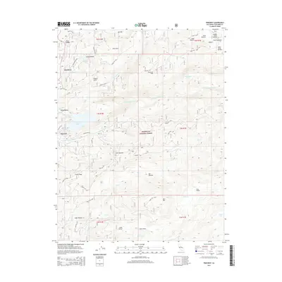
2015 Map of Pinecrest
USGS Topo · Published 2015About this map
The Stanislaus National Forest landscape shown here is defined by its recreation-driven settlements and the complex drainage of the Central Sierra Nevada. Developed around Pinecrest Lake and the S Fork Stanislaus River, the area serves as a significant mountain gateway, featuring the established communities of Pinecrest, Strawberry, and Bumblebee. The map documents a topography of named meadows and high-elevation basins, including the curious Fiddlers Green and the remote Coffin Hollow.
Find a feature on this map
66 named features on this map. Tap any name to fly to it.
Don’t see what you’re looking for? This feature index may not catch every label — zoom into the map to look around manually.
Map Details
Editions of this 2015 Pinecrest Map
This is the sole edition of this map. No revisions or reprints were ever made.
Other maps of this area

1891 · Big Trees
USGS Topo · 1:125,000

1894 · Big Trees
USGS Topo · 1:125,000

1896 · Dardanelles
USGS Topo · 1:125,000

1897 · Big Trees
USGS Topo · 1:125,000

1898 · Dardanelles
USGS Topo · 1:125,000

1901 · Big Trees
USGS Topo · 1:125,000

1947 · Sacramento
USGS Topo · 1:250,000

1948 · Walker Lake
USGS Topo · 1:250,000

1948 · Sacramento
USGS Topo · 1:250,000

1956 · Sacramento
USGS Topo · 1:250,000