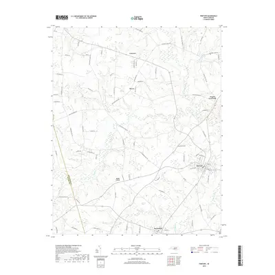
2019 Map of Pinetops
USGS Topo · Published 2019About this map
Pinetops and Macclesfield anchor the southeastern corner of this Edgecombe County landscape, where the flat coastal plain is deeply carved by a network of slow-moving waterways. The terrain is defined by the significant wetlands of Cokey Swamp and the winding course of Town Cr, which historically dictated the placement of roads and early farmsteads. Smaller rural crossroads such as Lancaster, Mercer, and Wiggins Crossroads illustrate the persistent pattern of dispersed agricultural settlement that has characterized this region for generations.
Find a feature on this map
85 named features on this map. Tap any name to fly to it.
Don’t see what you’re looking for? This feature index may not catch every label — zoom into the map to look around manually.
Map Details
Editions of this 2019 Pinetops Map
This is the sole edition of this map. No revisions or reprints were ever made.
Other maps of this area

1902 · Rocky Mount
USGS Topo · 1:62,500

1902 · Tarboro
USGS Topo · 1:62,500

1903 · Tarboro
USGS Topo · 1:62,500

1904 · Falkland
USGS Topo · 1:62,500

1904 · Rocky Mount
USGS Topo · 1:62,500

1904 · Wilson
USGS Topo · 1:62,500

1953 · Rocky Mount
USGS Topo · 1:250,000

1954 · Rocky Mount
USGS Topo · 1:250,000
1975 · Rocky Mount
USGS Topo · 1:24,000
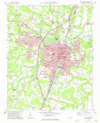
1977 · Rocky Mount
USGS Topo · 1:24,000