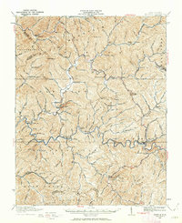
1910 Map of Pineville
USGS Topo · Published 1962About this map
Guyandotte river systems and the steep ridges of Huff Mountain define this early 20th-century landscape in Wyoming County. The settlement patterns reflect a transition between river-bottom farming and the burgeoning extractive industries, with numerous rural schools like the Matheney School and Adkin School serving isolated mountain communities. The transportation network is dominated by the Lumber RR, which winds through the narrow valleys of Slab Fork and Huff, tracing the path of timber extraction that preceded the region's deep coal development.
Find a feature on this map
123 named features on this map. Tap any name to fly to it.
Don’t see what you’re looking for? This feature index may not catch every label — zoom into the map to look around manually.
Map Details
Editions of this 1910 Pineville Map
2 editions found

Other maps of this area

1887 · Pocahontas
USGS Topo · 1:125,000

1891 · Tazewell
USGS Topo · 1:125,000

1891 · Pocahontas
USGS Topo · 1:125,000

1891 · Oceana
USGS Topo · 1:125,000

1891 · Raleigh
USGS Topo · 1:125,000

1893 · Oceana
USGS Topo · 1:125,000

1894 · Pocahontas
USGS Topo · 1:125,000

1895 · Tazewell
USGS Topo · 1:125,000

1895 · Pocahontas
USGS Topo · 1:125,000

1897 · Tazewell
USGS Topo · 1:125,000