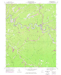
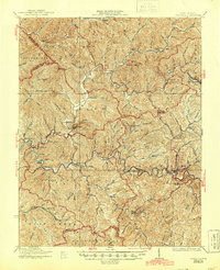
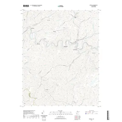
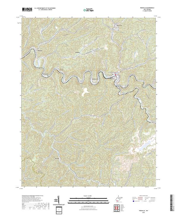
1967 Map of Pineville
USGS Topo · Published 1977About this map
The Guyandotte River carves a deep, winding path through the center of this Wyoming County landscape, where the coal-and-rail economy of the late 1960s is clearly visible. The Norfolk and Western railroad snakes along the riverbanks, serving industrial sites like the tipple near Marianna and another at Mullensville. While Pineville serves as a primary hub with its radio tower and water infrastructure, numerous smaller hollows and ridge-side communities like Glover, Windom, and Rock View are connected by a network of winding roads and mountain trails.
Find a feature on this map
67 named features on this map. Tap any name to fly to it.
Don’t see what you’re looking for? This feature index may not catch every label — zoom into the map to look around manually.
Map Details
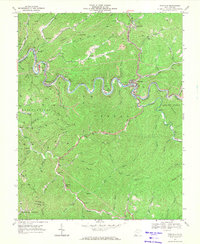
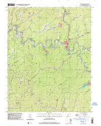
Editions of this 1967 Pineville Map
2 editions found
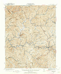
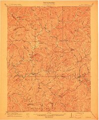
Historical Maps of Pineville Through Time
10 maps found
1910 Pineville
Wyoming County, WV
1912 Pineville
Wyoming County, WV
1927 Pineville
Wyoming County, WV
1967 Pineville
Wyoming County, WV
1996 Pineville
Wyoming County, WV
2011 Pineville
Wyoming County, WV

2014 Pineville
Wyoming County, WV
2016 Pineville
Wyoming County, WV
2019 Pineville
Wyoming County, WV
2023 Pineville
Wyoming County, WV