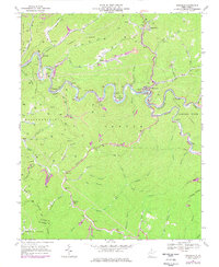
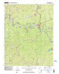
1967 Map of Pineville
USGS Topo · Published 1971About this map
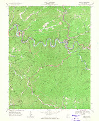
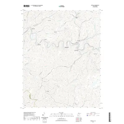
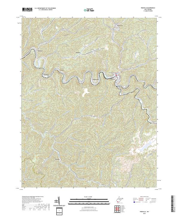
The Guyandotte River snakes through the heart of Wyoming County in this 1967 survey, defining a landscape of narrow hollows and high ridges. The Norfolk and Western railroad tracks trace the river’s winding course, serving industrial sites like the Marianna Tipple and various Strip Mine operations. The settlement of Pineville serves as a central hub, flanked by smaller communities such as Mullensville, Wyoming, and Clover.
Find a feature on this map
59 named features on this map. Tap any name to fly to it.
Don’t see what you’re looking for? This feature index may not catch every label — zoom into the map to look around manually.
Map Details
Editions of this 1967 Pineville Map
2 editions found
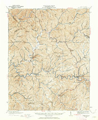
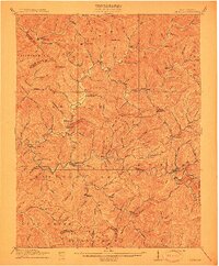
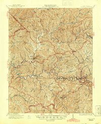
Historical Maps of Pineville Through Time
10 maps found
1910 Pineville
Wyoming County, WV
1912 Pineville
Wyoming County, WV
1927 Pineville
Wyoming County, WV
1967 Pineville
Wyoming County, WV
1996 Pineville
Wyoming County, WV
2011 Pineville
Wyoming County, WV

2014 Pineville
Wyoming County, WV
2016 Pineville
Wyoming County, WV
2019 Pineville
Wyoming County, WV
2023 Pineville
Wyoming County, WV