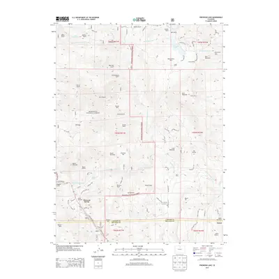
2013 Map of Pinewood Lake
USGS Topo · Published 2013About this map
The Little Thompson River and its North Fork wind through the mountain valleys of the Roosevelt National Forest, defining the rugged geography of this 2013 survey. The landscape is marked by a legacy of water engineering and ranching, evidenced by the presence of the Pole Hill Tunnel, Rattlesnake Tunnel, and Bald Mountain Tunnel which cut through the granite peaks. These subterranean structures connect the high-altitude hydrology with local basins like Pinewood Lake and South Side Reservoir.
Find a feature on this map
86 named features on this map. Tap any name to fly to it.
Don’t see what you’re looking for? This feature index may not catch every label — zoom into the map to look around manually.
Map Details
Editions of this 2013 Pinewood Lake Map
This is the sole edition of this map. No revisions or reprints were ever made.
Other maps of this area

1902 · Boulder
USGS Topo · 1:62,500

1904 · Niwot
USGS Topo · 1:62,500

1904 · Boulder
USGS Topo · 1:62,500

1905 · Mount Olympus
USGS Topo · 1:62,500

1906 · Loveland
USGS Topo · 1:62,500

1907 · Mount Olympus
USGS Topo · 1:62,500

1908 · Loveland
USGS Topo · 1:62,500

1950 · Hygiene
USGS Topo · 1:24,000

1954 · Greeley
USGS Topo · 1:250,000

1957 · Greeley
USGS Topo · 1:250,000