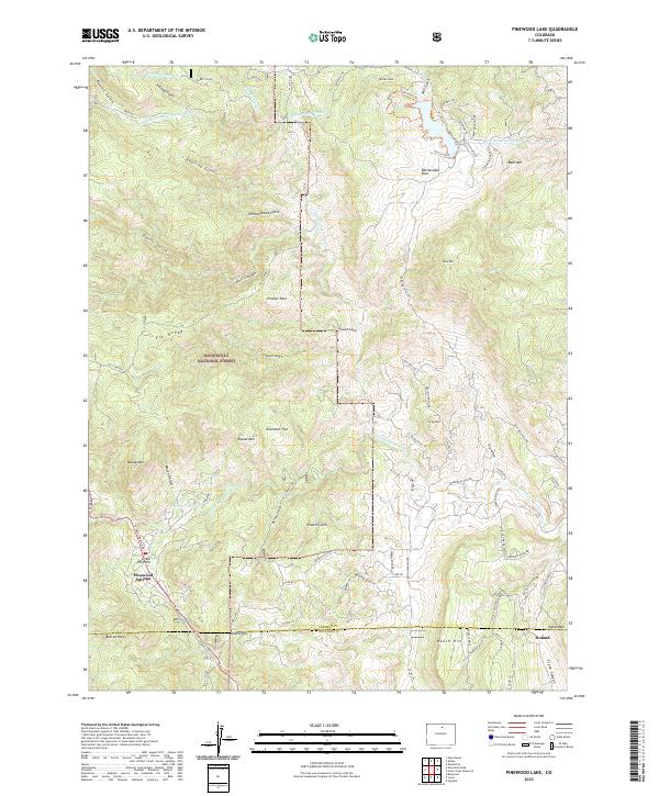
2022 Map of Pinewood Lake
USGS Topo · Published 2022About this map
Pinewood Springs and Little Elk Park occupy a complex landscape of canyon-riven uplands within the Roosevelt National Forest. The 2022 topography reveals a sophisticated network of water management infrastructure, including the Pole Hill Tunnel, Rattlesnake Tunnel, and the Bald Mountain Tunnel, which pierce the ridges of the Front Range. These engineering works intersect with the natural drainage of the N Fork Little Thompson River and the Little Thompson River.
Find a feature on this map
88 named features on this map. Tap any name to fly to it.
Don’t see what you’re looking for? This feature index may not catch every label — zoom into the map to look around manually.
Map Details
Editions of this 2022 Pinewood Lake Map
This is the sole edition of this map. No revisions or reprints were ever made.
Other maps of this area

1902 · Boulder
USGS Topo · 1:62,500

1904 · Niwot
USGS Topo · 1:62,500

1904 · Boulder
USGS Topo · 1:62,500

1905 · Mount Olympus
USGS Topo · 1:62,500

1906 · Loveland
USGS Topo · 1:62,500

1907 · Mount Olympus
USGS Topo · 1:62,500

1908 · Loveland
USGS Topo · 1:62,500

1950 · Hygiene
USGS Topo · 1:24,000

1954 · Greeley
USGS Topo · 1:250,000

1957 · Greeley
USGS Topo · 1:250,000