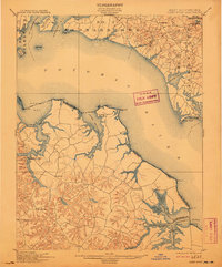
1901 Map of Piney Point
USGS Topo · Published 1911About this map
ST. Clement Bay and the wide expanse of the Potomac River dominate this turn-of-the-century coastal landscape, marking the maritime boundary between Southern Maryland and the Northern Neck of Virginia. The map reveals a world of river-oriented economies where the water served as the primary thoroughfare, evidenced by the strategic placement of Mount Holly at the crossing of Nomini Creek. Local commerce is anchored by sites like Clifton Mills near Chingville, while the Virginia shore is dotted with interior settlements such as Machodoc and Hague.
Find a feature on this map
66 named features on this map. Tap any name to fly to it.
Don’t see what you’re looking for? This feature index may not catch every label — zoom into the map to look around manually.
Map Details
Editions of this 1901 Piney Point Map
5 editions found

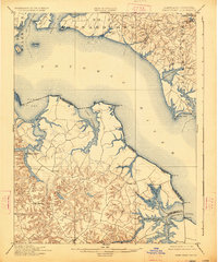
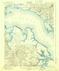
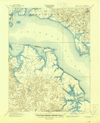
Other maps of this area

1892 · Leonardtown
USGS Topo · 1:62,500

1892 · Drum Point
USGS Topo · 1:62,500

1892 · Piney Point
USGS Topo · 1:62,500

1892 · Montross
USGS Topo · 1:62,500

1894 · Wicomico
USGS Topo · 1:62,500

1894 · Piney Point
USGS Topo · 1:62,500

1894 · Point Lookout
USGS Topo · 1:62,500

1895 · Wicomico
USGS Topo · 1:62,500

1895 · Leonardtown
USGS Topo · 1:62,500

1895 · Nomini
USGS Topo · 1:125,000