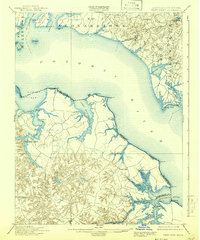
1901 Map of Piney Point
USGS Topo · Published 1942About this map
The Potomac River serves as the central artery for this maritime landscape at the opening of the twentieth century, dividing the tidal reaches of St. Mary's County, Maryland from the Northern Neck of Virginia. The mapping shows a world defined by its relationship with the water, where Mount Holly (Nomini Ferry) and various landings facilitated trade and travel before modern bridge networks became commonplace. In Maryland, settlements like Valley Lee and Chingville are established near the deep indentations of St. Clement Bay and Herring Creek. Across the river in Westmoreland County, Virginia, the drainage of the Yeocomico River and Nomini Creek is dotted with rural hubs such as Kinsale, Hague, and Machodoc. Notable landmarks include the L.H. lighthouse at Piney Point and Clifton Mills, reflecting a shoreline economy that relied on milling, fishing, and established river navigation.
Find a feature on this map
67 named features on this map. Tap any name to fly to it.
Don’t see what you’re looking for? This feature index may not catch every label — zoom into the map to look around manually.
Map Details
Editions of this 1901 Piney Point Map
5 editions found

Other maps of this area

1892 · Leonardtown
USGS Topo · 1:62,500

1892 · Drum Point
USGS Topo · 1:62,500

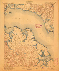
1892 · Piney Point
USGS Topo · 1:62,500

1892 · Montross
USGS Topo · 1:62,500

1894 · Wicomico
USGS Topo · 1:62,500

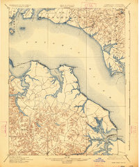
1894 · Piney Point
USGS Topo · 1:62,500

1894 · Point Lookout
USGS Topo · 1:62,500

1895 · Wicomico
USGS Topo · 1:62,500

1895 · Leonardtown
USGS Topo · 1:62,500

1895 · Nomini
USGS Topo · 1:125,000