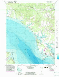
1968 Map of Piney Point
USGS Topo · Published 1983About this map
The Potomac River dominates this coastal survey, where the Maryland and Virginia state line cuts through the tidal waters of St. Marys and Westmoreland counties. Along the northern shores, the settlement of Piney Point serves as a focal point for maritime and aviation activity, featuring a Tank Farm, the Piney Point Airport, and the U S Coast Guard Station Piney Pt. The landscape is defined by its deep involvement with the water, from the residential clusters at Andover Estates and Tall Timbers to the numerous creeks like St George Creek and Flood Creek that carve into the low-lying peninsula.
Find a feature on this map
68 named features on this map. Tap any name to fly to it.
Don’t see what you’re looking for? This feature index may not catch every label — zoom into the map to look around manually.
Map Details
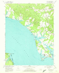
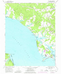
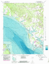
Editions of this 1968 Piney Point Map
4 editions found
Other maps of this area

1892 · Leonardtown
USGS Topo · 1:62,500

1892 · Drum Point
USGS Topo · 1:62,500

1892 · Piney Point
USGS Topo · 1:62,500

1894 · Piney Point
USGS Topo · 1:62,500

1894 · Point Lookout
USGS Topo · 1:62,500

1895 · Leonardtown
USGS Topo · 1:62,500

1895 · Nomini
USGS Topo · 1:125,000

1895 · Piney Point
USGS Topo · 1:62,500

1898 · Nomini
USGS Topo · 1:125,000

1898 · St. Marys
USGS Topo · 1:125,000