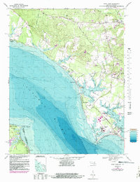
1968 Map of Piney Point
USGS Topo · Published 1988About this map
The southern tip of St. Mary's County meets the Potomac River in this detailed 1968 study, centered on the historic maritime community of Piney Point. The landscape is a complex network of tidal inlets and creeks, including St. George Creek and Herring Creek, which define the peninsula's jagged shoreline. Significant infrastructure of the mid-century era is evident at the Tank Farm and Piney Point Airport, while the U.S. Coast Guard Station and nearby Lighthouse reflect the area's ongoing importance to Chesapeake Bay navigation. Residential life is anchored by traditional institutions such as St. Luke's Church and St. George's Church, alongside growing neighborhoods like Andover Estates. Inland, the terrain shifts to wooded ridges and gravel extraction sites near Chingville and Callaway, where the St. Mary's River begins its flow southward.
Find a feature on this map
76 named features on this map. Tap any name to fly to it.
Don’t see what you’re looking for? This feature index may not catch every label — zoom into the map to look around manually.
Map Details
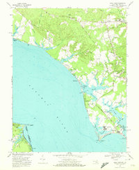
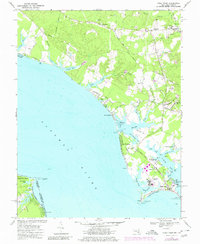
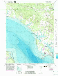
Editions of this 1968 Piney Point Map
4 editions found
Other maps of this area

1892 · Leonardtown
USGS Topo · 1:62,500

1892 · Drum Point
USGS Topo · 1:62,500

1892 · Piney Point
USGS Topo · 1:62,500

1894 · Piney Point
USGS Topo · 1:62,500

1894 · Point Lookout
USGS Topo · 1:62,500

1895 · Leonardtown
USGS Topo · 1:62,500

1895 · Nomini
USGS Topo · 1:125,000

1895 · Piney Point
USGS Topo · 1:62,500

1898 · Nomini
USGS Topo · 1:125,000

1898 · St. Marys
USGS Topo · 1:125,000