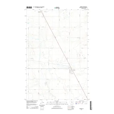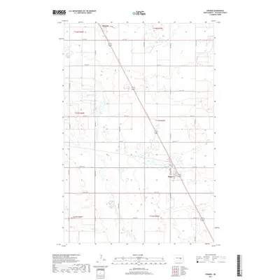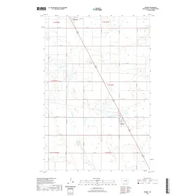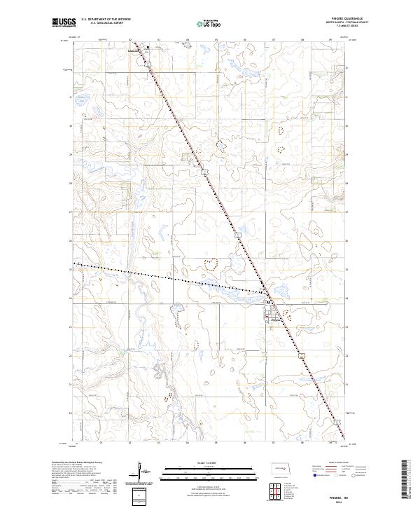
1991 Map of Pingree
USGS Topo · Published 1995About this map
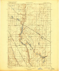
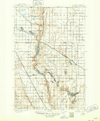
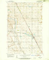
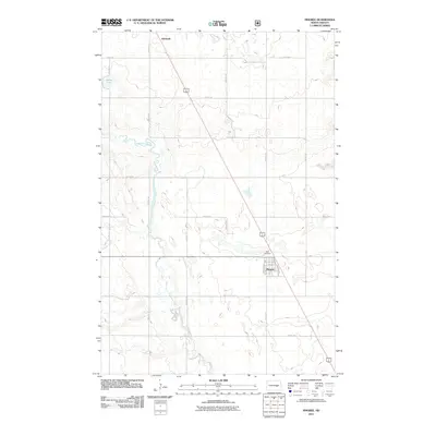
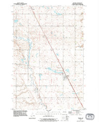
Pipestem Creek carves a distinct path through the central portion of this Stutsman County landscape, defining the Pipestem Valley as it moves toward the south. This 1991 revision, based on mid-century topography and updated imagery, centers on the village of Pingree, where the local Athletic Field and Rest Cem are clearly marked. Further northwest, the smaller settlement of Edmunds sits near another Cem, reflecting the rural burial patterns of the region. The map captures the agricultural organization of the Great Plains, with notable elevations like Round Top and the expanse of Plainview punctuated by small water bodies such as Dollar Lake. The transportation corridor running northwest to southeast through Pingree and Edmunds underscores the importance of the rail-and-road network to these North Dakota communities.
Find a feature on this map
13 named features on this map. Tap any name to fly to it.
Don’t see what you’re looking for? This feature index may not catch every label — zoom into the map to look around manually.
Map Details
Editions of this 1991 Pingree Map
This is the sole edition of this map. No revisions or reprints were ever made.
Historical Maps of Pingree Through Time
9 maps found