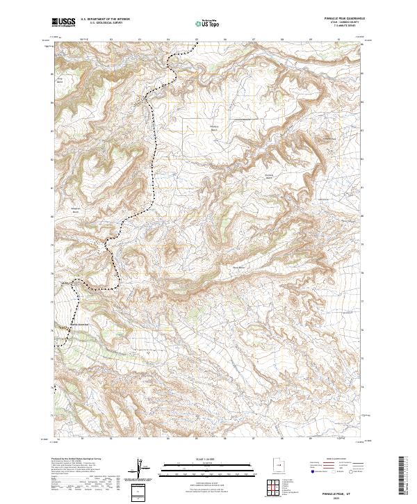
2023 Map of Pinnacle Peak
USGS Topo · Published 2023About this map
Wattis Junction and the surrounding high-desert plateaus of Carbon County define this landscape of deep canyons and flat-topped benches. The 2023 survey illustrates a modern industrial and transit network, where the Wattis Hwy and various access routes like Gas Field Rd and Trestle Rd navigate the complex topography. Rising above the system of drainages is the prominent Pinnacle Peak, flanked by Porphyry Bench and Pinnacle Bench.
Find a feature on this map
22 named features on this map. Tap any name to fly to it.
Don’t see what you’re looking for? This feature index may not catch every label — zoom into the map to look around manually.
Map Details
Editions of this 2023 Pinnacle Peak Map
This is the sole edition of this map. No revisions or reprints were ever made.
Other maps of this area

1885 · Manti
USGS Topo · 1:250,000

1886 · Price River
USGS Topo · 1:250,000

1895 · Manti
USGS Topo · 1:250,000

1896 · Price River
USGS Topo · 1:250,000

1914 · Castle Gate
USGS Topo · 1:62,500

1916 · Castle Gate
USGS Topo · 1:62,500

1923 · Scofield
USGS Topo · 1:62,500

1923 · Hiawatha
USGS Topo · 1:62,500

1925 · Scofield
USGS Topo · 1:62,500

1925 · Hiawatha
USGS Topo · 1:62,500