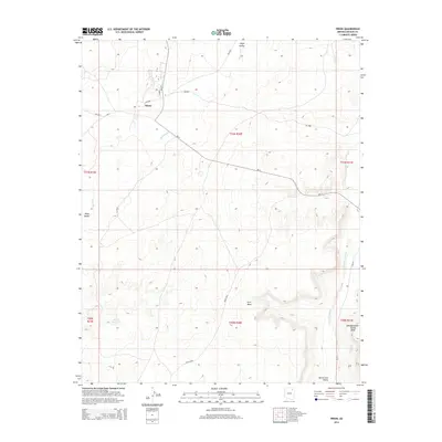
2014 Map of Pinon
USGS Topo · Published 2014About this map
Pinon serves as a central hub in this high-desert landscape of the Chinle Agency, marked by a post office at Po and the intersection of Bureau of Indian Affairs routes like Bia-4 and Bia-41. The geography is defined by broad drainages and prominent landforms, including the expanse of Wepo Valley and the northern reaches of First Mesa. Further east, Whippoorwill Spring Mesa rises above the basin, while Toh Ha Hao Cheen marks a specific point of interest in the southern terrain.
Find a feature on this map
27 named features on this map. Tap any name to fly to it.
Don’t see what you’re looking for? This feature index may not catch every label — zoom into the map to look around manually.
Map Details
Editions of this 2014 Pinon Map
This is the sole edition of this map. No revisions or reprints were ever made.
Other maps of this area

1883 · Marsh Pass
USGS Topo · 1:250,000

1883 · Tusayan
USGS Topo · 1:250,000

1886 · Tusayan
USGS Topo · 1:250,000

1892 · Marsh Pass
USGS Topo · 1:250,000

1947 · Flagstaff
USGS Topo · 1:250,000

1954 · Flagstaff
USGS Topo · 1:250,000

1956 · Marble Canyon
USGS Topo · 1:250,000

1958 · Flagstaff
USGS Topo · 1:250,000

1959 · Marble Canyon
USGS Topo · 1:250,000

1960 · Flagstaff
USGS Topo · 1:250,000