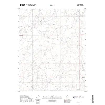
2018 Map of Pinon
USGS Topo · Published 2018About this map
Pinon serves as a central point of settlement within the Chinle Agency, situated at the junction of several key regional routes including Indian Rte 41 and Indian Rte 8030. The landscape is defined by its dramatic mesas and ephemeral water systems, where the massive First Mesa dominates the central terrain. This area reflects a traditional spatial organization dictated by the natural topography of the Colorado Plateau, with travel corridors following the natural grades established by seasonal drainages like Wepo Wash and Burnt Corn Wash.
Find a feature on this map
22 named features on this map. Tap any name to fly to it.
Don’t see what you’re looking for? This feature index may not catch every label — zoom into the map to look around manually.
Map Details
Editions of this 2018 Pinon Map
This is the sole edition of this map. No revisions or reprints were ever made.
Other maps of this area

1883 · Marsh Pass
USGS Topo · 1:250,000

1883 · Tusayan
USGS Topo · 1:250,000

1886 · Tusayan
USGS Topo · 1:250,000

1892 · Marsh Pass
USGS Topo · 1:250,000

1947 · Flagstaff
USGS Topo · 1:250,000

1954 · Flagstaff
USGS Topo · 1:250,000

1956 · Marble Canyon
USGS Topo · 1:250,000

1958 · Flagstaff
USGS Topo · 1:250,000

1959 · Marble Canyon
USGS Topo · 1:250,000

1960 · Flagstaff
USGS Topo · 1:250,000