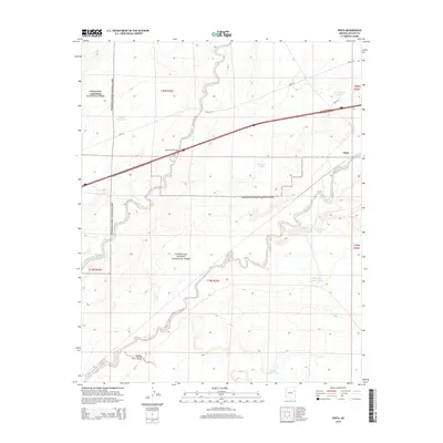
2014 Map of Pinta
USGS Topo · Published 2014About this map
Petrified Forest National Park dominates this high-desert landscape in Arizona’s Apache County, where the meandering Puerco River carves its way through the arroyos. The area is defined by its transit history and water management, with modern infrastructure following the path of Road 66 and Pinta Rd as they cross the drainage of Dead Wash. The small settlement of Pinta sits at a critical junction of the rail and road corridor, serving as a landmark in a terrain otherwise characterized by its many stock tanks and draws. Numerous water features such as Last Chance Tank, Saddle Horse Tank, and Shipping Pasture Tank reflect the necessities of ranching and land use in this arid environment. The map provides a look at the intricate township and range boundaries that partitioned the land between the park and neighboring ranching interests.
Find a feature on this map
19 named features on this map. Tap any name to fly to it.
Don’t see what you’re looking for? This feature index may not catch every label — zoom into the map to look around manually.
Map Details
Editions of this 2014 Pinta Map
This is the sole edition of this map. No revisions or reprints were ever made.
Other maps of this area

1886 · St Johns
USGS Topo · 1:250,000

1886 · Fort Defiance
USGS Topo · 1:250,000

1892 · Fort Defiance
USGS Topo · 1:250,000

1892 · St Johns
USGS Topo · 1:250,000

1912 · Petrified Forest
USGS Topo · 1:62,500

1954 · Saint Johns
USGS Topo · 1:250,000

1954 · Gallup
USGS Topo · 1:250,000

1955 · Petrified Forest
USGS Topo · 1:62,500

1956 · Adamana 1 NW
USGS Topo · 1:24,000

1957 · Saint Johns
USGS Topo · 1:250,000