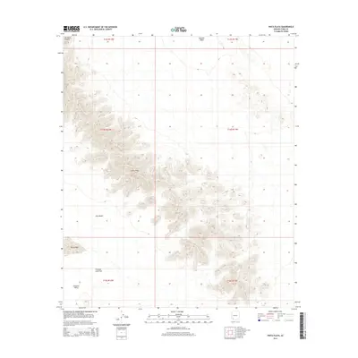
2014 Map of Pinta Playa
USGS Topo · Published 2014About this map
Sierra Pinta dominates the central topography of this Yuma County landscape, its steep contours rising sharply above the surrounding arid basins. To the west, the Tule Desert stretches toward Pinta Playa, a prominent dry lake bed that serves as a focal point for the region's internal drainage. The southern portion of the quadrangle transitions into the dark, volcanic textures of the Pinacate Lava Flow, which spills into Pinacate Valley. This terrain represents a classic desert mosaic, where the isolation of Paradise Canyon and the broad reaches of Mohawk Valley illustrate the stark geographic transitions typical of the Arizona borderlands. The map provides a detailed look at this remote environment as it appeared in the early 21st century, showing a land defined by geological formations and natural basins rather than human settlement.
Find a feature on this map
13 named features on this map. Tap any name to fly to it.
Don’t see what you’re looking for? This feature index may not catch every label — zoom into the map to look around manually.
Map Details
Editions of this 2014 Pinta Playa Map
This is the sole edition of this map. No revisions or reprints were ever made.
Other maps of this area

1953 · Ajo
USGS Topo · 1:250,000

1957 · Ajo
USGS Topo · 1:250,000

1958 · Ajo
USGS Topo · 1:250,000

1962 · Ajo
USGS Topo · 1:250,000

1963 · Ajo
USGS Topo · 1:250,000

1965 · O'Neill Hills
USGS Topo · 1:62,500

1965 · Granite Mountains
USGS Topo · 1:62,500

1965 · Isla Pinta
USGS Topo · 1:62,500

1965 · Sierra Arida
USGS Topo · 1:62,500

1967 · Ajo
USGS Topo · 1:250,000