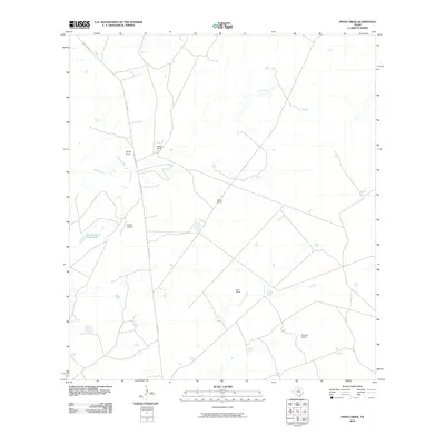
2010 Map of Pinto Creek
USGS Topo · Published 2010About this map
Pinto Creek meanders through this portion of Webb County, defining a landscape of traditional Texas ranching operations in the early twenty-first century. The area is characterized by large private holdings, including Pilotes Ranch, Galvan Ranch, and Thomas Ranch, which serve as the primary landmarks across the terrain. These estates are connected by a network of regional thoroughfares like Eagle Pass Rd and Ranch Rd 1472. The importance of water management in this arid region is evidenced by features such as the Galvan South River Tank and the path of Carricitos Creek. In addition to livestock and land management, the presence of the Rachal Airport indicates the scale of travel and connectivity required for these sprawling properties in South Texas.
Find a feature on this map
10 named features on this map. Tap any name to fly to it.
Don’t see what you’re looking for? This feature index may not catch every label — zoom into the map to look around manually.
Map Details
Editions of this 2010 Pinto Creek Map
This is the sole edition of this map. No revisions or reprints were ever made.
Other maps of this area

1923 · Palafox
USGS Topo · 1:62,500

1929 · Cotulla
USGS Topo · 1:125,000

1940 · Velenzuela Creek
USGS Topo · 1:62,500

1940 · San Loranzo Creek
USGS Topo · 1:62,500

1953 · Crystal City
USGS Topo · 1:250,000

1955 · Crystal City
USGS Topo · 1:250,000

1956 · Las Tiendas
USGS Topo · 1:62,500

1956 · Laredo
USGS Topo · 1:250,000

1961 · Crystal City
USGS Topo · 1:250,000

1965 · Cerritos Blancos
USGS Topo · 1:24,000