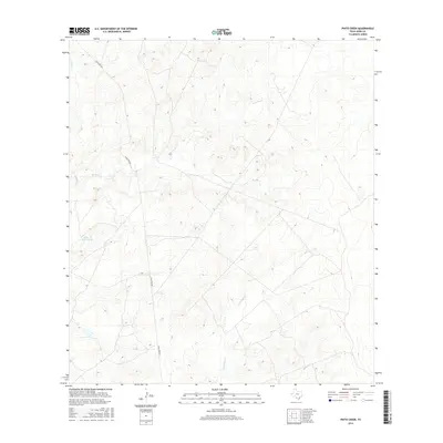
2016 Map of Pinto Creek
USGS Topo · Published 2016About this map
Pinto Creek meanders through this portion of Webb County, defining a landscape shaped by intermittent drainage and the practical needs of South Texas ranching. The presence of the Galvan S River Tank suggests the importance of water management in this arid environment, providing a focal point for local land use. This 2016 survey captures the area at a time when traditional overland routes like Eagle Pass Rd remained vital corridors for connecting the region's disparate ranch lands. Secondary drainage systems, including Carricitos Cr and Espada Cr, further characterize the terrain, illustrating the natural hydrological patterns that have long influenced settlement and agricultural activity in this part of the state. The map provides a clear record of these features before further modern developments could alter the rural character of the landscape.
Find a feature on this map
5 named features on this map. Tap any name to fly to it.
Don’t see what you’re looking for? This feature index may not catch every label — zoom into the map to look around manually.
Map Details
Editions of this 2016 Pinto Creek Map
This is the sole edition of this map. No revisions or reprints were ever made.
Other maps of this area

1923 · Palafox
USGS Topo · 1:62,500

1929 · Cotulla
USGS Topo · 1:125,000

1940 · Velenzuela Creek
USGS Topo · 1:62,500

1940 · San Loranzo Creek
USGS Topo · 1:62,500

1953 · Crystal City
USGS Topo · 1:250,000

1955 · Crystal City
USGS Topo · 1:250,000

1956 · Las Tiendas
USGS Topo · 1:62,500

1956 · Laredo
USGS Topo · 1:250,000

1961 · Crystal City
USGS Topo · 1:250,000

1965 · Cerritos Blancos
USGS Topo · 1:24,000