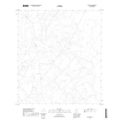
2019 Map of Pinto Creek
USGS Topo · Published 2019About this map
Pinto Cr and its meandering tributaries dominate this Webb County landscape, showing the arid drainage patterns of South Texas as they were recorded in 2019. The map highlights a largely open ranching or range environment where water management is central to the land's utility, evidenced by the Galvan South River Tank. Transportation through this territory is defined by the long, straight passage of Eagle Pass Rd, which cuts across the undulating terrain. The drainage of Carricitos Cr further illustrates the complex network of intermittent streams that define the local topography, offering a clear record of the watershed and land-use markers in this portion of the borderlands region.
Find a feature on this map
4 named features on this map. Tap any name to fly to it.
Don’t see what you’re looking for? This feature index may not catch every label — zoom into the map to look around manually.
Map Details
Editions of this 2019 Pinto Creek Map
This is the sole edition of this map. No revisions or reprints were ever made.
Other maps of this area

1923 · Palafox
USGS Topo · 1:62,500

1929 · Cotulla
USGS Topo · 1:125,000

1940 · Velenzuela Creek
USGS Topo · 1:62,500

1940 · San Loranzo Creek
USGS Topo · 1:62,500

1953 · Crystal City
USGS Topo · 1:250,000

1955 · Crystal City
USGS Topo · 1:250,000

1956 · Las Tiendas
USGS Topo · 1:62,500

1956 · Laredo
USGS Topo · 1:250,000

1961 · Crystal City
USGS Topo · 1:250,000

1965 · Cerritos Blancos
USGS Topo · 1:24,000