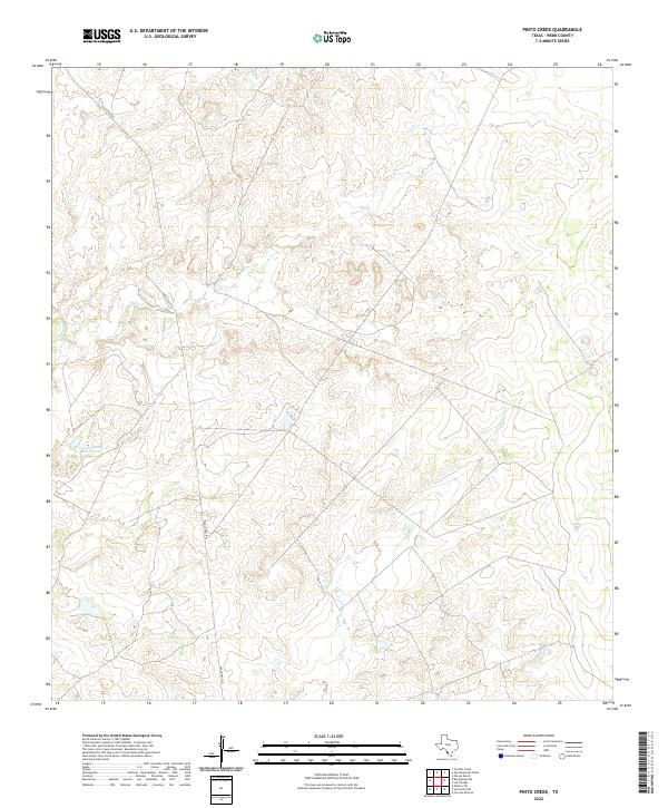
2022 Map of Pinto Creek
USGS Topo · Published 2022About this map
Pinto Creek meanders through this portion of Webb County, defining a landscape of intermittent drainage and managed water resources. The terrain is marked by the presence of the Galván South River Tank, an essential feature for land management in this arid stretch of South Texas. Navigability and access are provided primarily by Eagle Pass Road, which cuts diagonally across the quadrangle, linking the region's isolated holdings. Other drainage systems, including Espada Creek and Carricito's Creek, shape the contours of the land, illustrating the network of dry creek beds that characterize the area. This survey documents the rural character and infrastructure of the region as it stood in the early 21st century, showing the intersection of local transport routes and water management.
Find a feature on this map
5 named features on this map. Tap any name to fly to it.
Don’t see what you’re looking for? This feature index may not catch every label — zoom into the map to look around manually.
Map Details
Editions of this 2022 Pinto Creek Map
This is the sole edition of this map. No revisions or reprints were ever made.
Other maps of this area

1923 · Palafox
USGS Topo · 1:62,500

1929 · Cotulla
USGS Topo · 1:125,000

1940 · Velenzuela Creek
USGS Topo · 1:62,500

1940 · San Loranzo Creek
USGS Topo · 1:62,500

1953 · Crystal City
USGS Topo · 1:250,000

1955 · Crystal City
USGS Topo · 1:250,000

1956 · Las Tiendas
USGS Topo · 1:62,500

1956 · Laredo
USGS Topo · 1:250,000

1961 · Crystal City
USGS Topo · 1:250,000

1965 · Cerritos Blancos
USGS Topo · 1:24,000