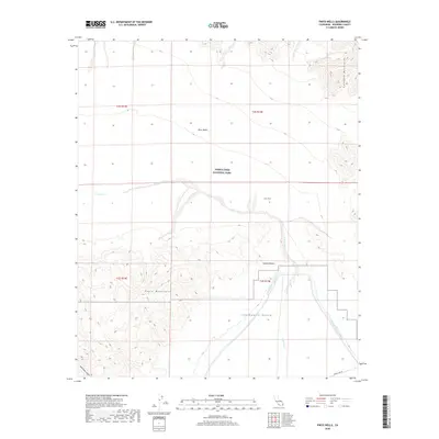
2018 Map of Pinto Wells
USGS Topo · Published 2018About this map
Joshua Tree National Park anchors this 2018 survey of the arid California interior, where the high desert terrain of the Mojave Desert meets the transition into the Chuckwalla Valley. The map detail highlights the hydrological and infrastructural systems essential to this environment, specifically the winding path of Pinto Wash as it drains the Pinto Basin. To the south, the engineering of the Colorado River Aqueduct is clearly traced as it cuts across the landscape near the foot of the Eagle Mountains. This area around Pinto Wells is defined by sharp topographic contrasts, from the steep rises of the Coxcomb Mountains in the northeast to the descent into Bold Eagle Canyon. Isolated infrastructure like Phone Line Rd provides the few terrestrial markers in this expanse of the eastern Colorado Desert.
Find a feature on this map
15 named features on this map. Tap any name to fly to it.
Don’t see what you’re looking for? This feature index may not catch every label — zoom into the map to look around manually.
Map Details
Editions of this 2018 Pinto Wells Map
This is the sole edition of this map. No revisions or reprints were ever made.
Other maps of this area

1942 · Amboy
USGS Topo · 1:250,000

1943 · Amboy
USGS Topo · 1:250,000

1943 · Cadiz Valley
USGS Topo · 1:62,500

1943 · Coxcomb Mountains
USGS Topo · 1:62,500

1944 · Eagle Tank
USGS Topo · 1:62,500

1944 · Coxcomb Mountains
USGS Topo · 1:62,500

1954 · Salton Sea
USGS Topo · 1:250,000

1954 · Needles
USGS Topo · 1:250,000

1955 · Salton Sea
USGS Topo · 1:250,000

1956 · Needles
USGS Topo · 1:250,000