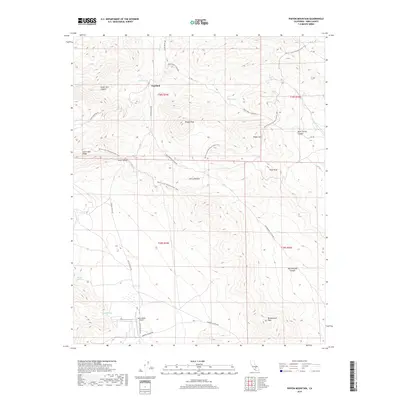
2018 Map of Pinyon Mountain
USGS Topo · Published 2018About this map
Sageland stands as a focal point in this high-desert landscape where the Sierra Nevada meets the arid basins of Kern County. The map reveals a network of primitive and improved roads, including S Kelso Valley Rd and Jawbone Canyon Rd, which navigate the complex topography between Saint John Ridge and Pinyon Mtn. Notable for its recreational and navigational importance, the Pacific Crest National Scenic Trail winds through the central and northern sections, crossing near Bright Star Canyon. Water sources such as Tunnel Spring, Willow Spring, and Green Spring are critical markers in this environment, while the presence of the Kelso Valley Airport indicates the region's accessibility for more modern transit. The terrain is defined by dramatic elevation shifts, ranging from the depths of Butterbredt Canyon and Dove Spring Canyon to the summits of Mayan Peak and Gold Peak.
Find a feature on this map
28 named features on this map. Tap any name to fly to it.
Don’t see what you’re looking for? This feature index may not catch every label — zoom into the map to look around manually.
Map Details
Editions of this 2018 Pinyon Mountain Map
This is the sole edition of this map. No revisions or reprints were ever made.
Other maps of this area

1906 · Kernville
USGS Topo · 1:125,000

1908 · Kernville
USGS Topo · 1:125,000

1915 · Mojave
USGS Topo · 1:125,000

1943 · Cross Mountain
USGS Topo · 1:62,500

1943 · Emerald Mtn
USGS Topo · 1:62,500

1943 · Onyx
USGS Topo · 1:62,500

1943 · Isabella
USGS Topo · 1:62,500

1948 · Bakersfield
USGS Topo · 1:250,000

1955 · Bakersfield
USGS Topo · 1:250,000

1956 · Bakersfield
USGS Topo · 1:250,000