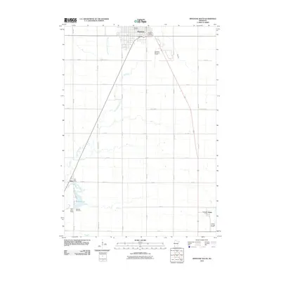
2010 Map of Pipestone South
USGS Topo · Published 2010About this map
Pipestone serves as the primary hub of this southwestern Minnesota landscape, situated just north of the winding South Branch Pipestone Creek. The map documents the town's civic infrastructure, including the Pipestone Post Office and the Pipestone County Fairgrounds. To the south, the terrain is defined by the course of Split Rock Creek, which feeds into Splitrock Lake. This waterway is a focal point for local engineering, featuring both the Splitrock Lake Dam and the Split Rock Bridge.
Find a feature on this map
34 named features on this map. Tap any name to fly to it.
Don’t see what you’re looking for? This feature index may not catch every label — zoom into the map to look around manually.
Map Details
Editions of this 2010 Pipestone South Map
This is the sole edition of this map. No revisions or reprints were ever made.
Other maps of this area

1953 · Watertown
USGS Topo · 1:250,000

1955 · Sioux Falls
USGS Topo · 1:250,000

1958 · Sioux Falls
USGS Topo · 1:250,000

1958 · Watertown
USGS Topo · 1:250,000

1967 · Edgerton South
USGS Topo · 1:24,000

1967 · Pipestone North
USGS Topo · 1:24,000

1967 · Edgerton North
USGS Topo · 1:24,000

1967 · Elkton SW
USGS Topo · 1:24,000

1967 · Jasper SE
USGS Topo · 1:24,000

1967 · Pipestone South
USGS Topo · 1:24,000