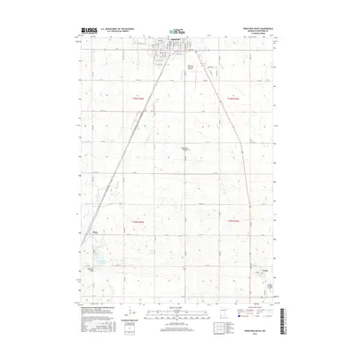
2016 Map of Pipestone South
USGS Topo · Published 2016About this map
The high plateau of the Coteau des Prairies defines the landscape of southern Pipestone County, as shown in this 2016 survey. The city of Pipestone serves as the regional anchor in the north, while the smaller settlements of Ihlen and Trosky mark the lower reaches of the quadrangle. The drainage pattern is dominated by Split Rock Cr, which feeds into Splitrock Lake near the historic Split Rock Bridge.
Find a feature on this map
46 named features on this map. Tap any name to fly to it.
Don’t see what you’re looking for? This feature index may not catch every label — zoom into the map to look around manually.
Map Details
Editions of this 2016 Pipestone South Map
This is the sole edition of this map. No revisions or reprints were ever made.
Other maps of this area

1953 · Watertown
USGS Topo · 1:250,000

1955 · Sioux Falls
USGS Topo · 1:250,000

1958 · Sioux Falls
USGS Topo · 1:250,000

1958 · Watertown
USGS Topo · 1:250,000

1967 · Edgerton South
USGS Topo · 1:24,000

1967 · Pipestone North
USGS Topo · 1:24,000

1967 · Edgerton North
USGS Topo · 1:24,000

1967 · Elkton SW
USGS Topo · 1:24,000

1967 · Jasper SE
USGS Topo · 1:24,000

1967 · Pipestone South
USGS Topo · 1:24,000