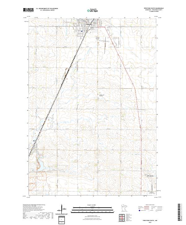
2022 Map of Pipestone South
USGS Topo · Published 2022About this map
Pipestone serves as the primary hub in this southwestern Minnesota landscape, centered around the Pipestone County Courthouse and a grid of residential streets. The terrain is part of the Coteau des Prairies, an upland plateau that influences the drainage patterns of waterways like Pipestone Cr and Split Rock Cr. These streams wind through agricultural fields, with the latter accompanied by the Split Rock-Creek Multi-Use Trl, indicating a modern integration of recreation into the rural countryside.
Find a feature on this map
31 named features on this map. Tap any name to fly to it.
Don’t see what you’re looking for? This feature index may not catch every label — zoom into the map to look around manually.
Map Details
Editions of this 2022 Pipestone South Map
This is the sole edition of this map. No revisions or reprints were ever made.
Other maps of this area

1953 · Watertown
USGS Topo · 1:250,000

1955 · Sioux Falls
USGS Topo · 1:250,000

1958 · Sioux Falls
USGS Topo · 1:250,000

1958 · Watertown
USGS Topo · 1:250,000

1967 · Edgerton South
USGS Topo · 1:24,000

1967 · Pipestone North
USGS Topo · 1:24,000

1967 · Edgerton North
USGS Topo · 1:24,000

1967 · Elkton SW
USGS Topo · 1:24,000

1967 · Jasper SE
USGS Topo · 1:24,000

1967 · Pipestone South
USGS Topo · 1:24,000