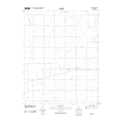
2009 Map of Piqua
USGS Topo · Published 2009About this map
The settlement of Piqua sits at the heart of this Woodson County landscape, which remains defined by a strict grid of section roads and small agricultural communities. To the northwest, the Vernon Oil Field signals the presence of the region's petroleum industry, while the drainage of the Neosho River and Rock Creek carves a natural path through the otherwise structured prairie. This survey captures the rural infrastructure of the early 21st century, including the small community of Athens to the west and the southern edge of Neosho Falls at the northern boundary. Genealogists and local historians will find several well-defined burial grounds across the quadrangle, including Saint Martins Cemetery and Iola Cemetery near Piqua, as well as the more remote Schaede Cemetery to the south.
Find a feature on this map
35 named features on this map. Tap any name to fly to it.
Don’t see what you’re looking for? This feature index may not catch every label — zoom into the map to look around manually.
Map Details
Editions of this 2009 Piqua Map
This is the sole edition of this map. No revisions or reprints were ever made.
Other maps of this area

1885 · Burlington
USGS Topo · 1:125,000

1885 · Garnett
USGS Topo · 1:125,000

1886 · Fredonia
USGS Topo · 1:125,000

1886 · Iola
USGS Topo · 1:125,000

1893 · Iola
USGS Topo · 1:125,000

1894 · Garnett
USGS Topo · 1:125,000

1894 · Fredonia
USGS Topo · 1:125,000

1894 · Burlington
USGS Topo · 1:125,000

1904 · Iola
USGS Topo · 1:125,000

1947 · Lawrence
USGS Topo · 1:250,000