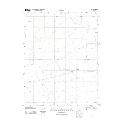
2012 Map of Piqua
USGS Topo · Published 2012About this map
Piqua serves as a central hub in this section of Woodson County, where a post office and the Saint Martins Cem anchor the local community. The landscape is defined by the winding course of the Neosho River in the northeast and several significant tributaries including Rock Creek, Plum Creek, and Liberty Creek that drain the surrounding agricultural plains. The presence of the Vernon Oil Field in the northwest quadrant indicates the region's intersection with the energy industry, while the Woodson County Improvement District marks modern jurisdictional organization.
Find a feature on this map
48 named features on this map. Tap any name to fly to it.
Don’t see what you’re looking for? This feature index may not catch every label — zoom into the map to look around manually.
Map Details
Editions of this 2012 Piqua Map
This is the sole edition of this map. No revisions or reprints were ever made.
Other maps of this area

1885 · Burlington
USGS Topo · 1:125,000

1885 · Garnett
USGS Topo · 1:125,000

1886 · Fredonia
USGS Topo · 1:125,000

1886 · Iola
USGS Topo · 1:125,000

1893 · Iola
USGS Topo · 1:125,000

1894 · Garnett
USGS Topo · 1:125,000

1894 · Fredonia
USGS Topo · 1:125,000

1894 · Burlington
USGS Topo · 1:125,000

1904 · Iola
USGS Topo · 1:125,000

1947 · Lawrence
USGS Topo · 1:250,000