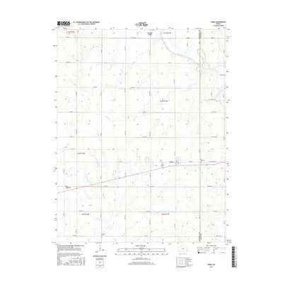
2016 Map of Piqua
USGS Topo · Published 2016About this map
Neosho Falls and Piqua anchor this Kansas landscape, where the Neosho River snakes through the northern reaches of the quadrangle. The area's agricultural identity is reflected in a grid of section roads with regional naming conventions like Pennsylvania Rd and Minnesota Rd. For genealogists, the map identifies several local burial grounds including Saint Martins Cem near Piqua, Iola Township Cem on the border of Woodson Co and Allen Co, and Schaefer Cem to the southwest. The terrain is defined by a series of drainage systems, including Rock Cr, Plum Cr, and Onion Cr, which dictate the local topography. This document provides a look at the rural intersections and named settlements such as Athens that persist in this corner of southeastern Kansas.
Find a feature on this map
46 named features on this map. Tap any name to fly to it.
Don’t see what you’re looking for? This feature index may not catch every label — zoom into the map to look around manually.
Map Details
Editions of this 2016 Piqua Map
This is the sole edition of this map. No revisions or reprints were ever made.
Other maps of this area

1885 · Burlington
USGS Topo · 1:125,000

1885 · Garnett
USGS Topo · 1:125,000

1886 · Fredonia
USGS Topo · 1:125,000

1886 · Iola
USGS Topo · 1:125,000

1893 · Iola
USGS Topo · 1:125,000

1894 · Garnett
USGS Topo · 1:125,000

1894 · Fredonia
USGS Topo · 1:125,000

1894 · Burlington
USGS Topo · 1:125,000

1904 · Iola
USGS Topo · 1:125,000

1947 · Lawrence
USGS Topo · 1:250,000