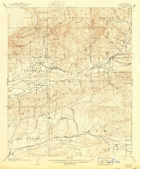
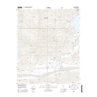
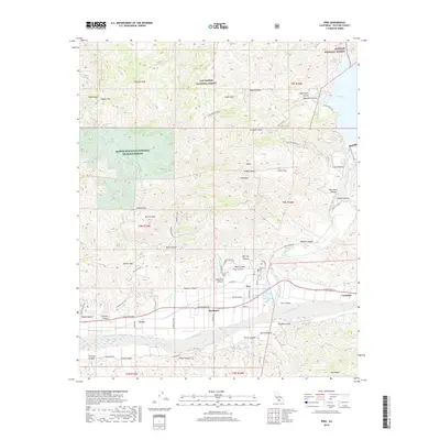
1941 Map of Piru
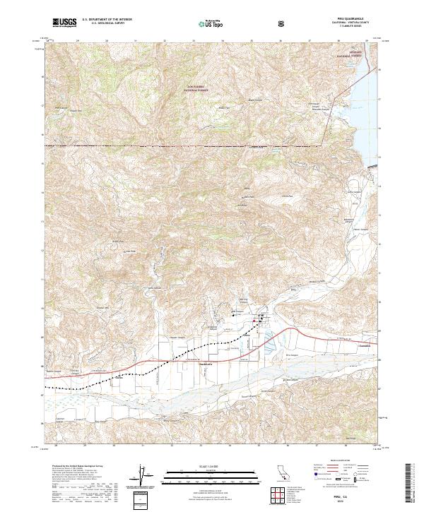
USGS Topo · Published 1963About this map
The Santa Clara River valley serves as the primary corridor for development and transit in this 1941 survey, where the Southern Pacific railroad connects established agricultural hubs. Settlements like Fillmore and Piru are framed by the dramatic topography of Oak Ridge and the Los Padres National Forest, illustrating a landscape defined by its narrow habitable valleys. The map documents an era when family-held properties like the Lankersham Estate and Dan O'Leary Ranch dominated the foothills, alongside emerging industrial interests such as the Modelo Oil Lease Property. In the southern portion, the communities of Moorpark and Somis anchor the Simi Valley and Las Posas Hills, showing the early road networks and rural school districts, including Las Posas Sch, that served these inland ranching territories before post-war suburban expansion.
Find a feature on this map
81 named features on this map. Tap any name to fly to it.
Don’t see what you’re looking for? This feature index may not catch every label — zoom into the map to look around manually.
Map Details
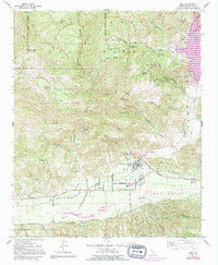
Editions of this 1941 Piru Map
This is the sole edition of this map. No revisions or reprints were ever made.
Historical Maps of Thousand Oaks Through Time
9 maps found