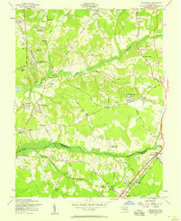
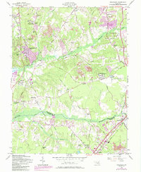
1957 Map of Piscataway
USGS Topo · Published 1958About this map
Piscataway Creek and Mattawoman Creek define the landscape of southern Prince George's County in this mid-century survey. The area maintains a rural, agrarian character with numerous small communities and named hills, such as Burch Hill, dotting the terrain. Long-established crossroads like Piscataway, with its St Marys Ch, and Silesia serve as local anchors. The map reveals a transition toward mid-century residential development, evident in neighborhoods like Friendly Farms and Piscataway Hills, while maintaining historical sites such as Ashbury Ch and Zion Wesley Ch.
Find a feature on this map
84 named features on this map. Tap any name to fly to it.
Don’t see what you’re looking for? This feature index may not catch every label — zoom into the map to look around manually.
Map Details
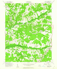
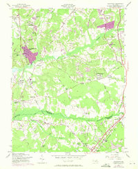
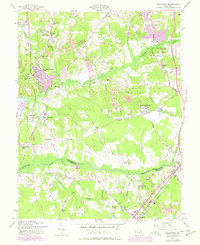
Editions of this 1957 Piscataway Map
6 editions found
Other maps of this area

1890 · Mt. Vernon
USGS Topo · 1:125,000

1891 · Mt. Vernon
USGS Topo · 1:125,000

1892 · Brandywine
USGS Topo · 1:62,500

1894 · Mt. Vernon
USGS Topo · 1:125,000

1895 · Brandywine
USGS Topo · 1:62,500

1897 · Mt. Vernon
USGS Topo · 1:125,000

1899 · Patuxent
USGS Topo · 1:125,000

1900 · Washington
USGS Topo · 1:62,500

1906 · Patuxent
USGS Topo · 1:125,000

1911 · Brandywine
USGS Topo · 1:62,500