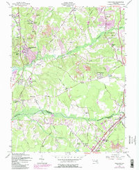
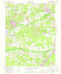
1957 Map of Piscataway
USGS Topo · Published 1985About this map
Piscataway and the surrounding rural communities of Prince George's County are captured during a period of transition as suburban expansion begins to blend with established farming tracts. The landscape is defined by the winding paths of Piscataway Creek and Mattawoman Creek, with the latter serving as the boundary line between Prince Georges Co Charles Co. Established local centers like Silesia, Chapel Hill, and Berry are shown alongside newer developments like Crestview Manor and Blandford Village.
Find a feature on this map
66 named features on this map. Tap any name to fly to it.
Don’t see what you’re looking for? This feature index may not catch every label — zoom into the map to look around manually.
Map Details
Editions of this 1957 Piscataway Map
6 editions found
Other maps of this area

1890 · Mt. Vernon
USGS Topo · 1:125,000

1891 · Mt. Vernon
USGS Topo · 1:125,000

1892 · Brandywine
USGS Topo · 1:62,500

1894 · Mt. Vernon
USGS Topo · 1:125,000

1895 · Brandywine
USGS Topo · 1:62,500

1897 · Mt. Vernon
USGS Topo · 1:125,000

1899 · Patuxent
USGS Topo · 1:125,000

1900 · Washington
USGS Topo · 1:62,500

1906 · Patuxent
USGS Topo · 1:125,000

1911 · Brandywine
USGS Topo · 1:62,500