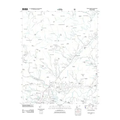
2011 Map of Pisgah Forest
USGS Topo · Published 2011About this map
Ecusta and the surrounding residential developments of Benton Hills and Pisgah Gardens anchor the southern reach of this Transylvania County landscape. The area is defined by a dense network of mountain peaks and gaps, including the prominent Rich Mountain and Funnelton Mountain to the north, while the South Fork Mills River and its numerous tributaries like Clawhammer Creek carve through the high ridges.
Find a feature on this map
167 named features on this map. Tap any name to fly to it.
Don’t see what you’re looking for? This feature index may not catch every label — zoom into the map to look around manually.
Map Details
Editions of this 2011 Pisgah Forest Map
This is the sole edition of this map. No revisions or reprints were ever made.
Other maps of this area

1905 · Pisgah
USGS Topo · 1:125,000

1906 · Pisgah
USGS Topo · 1:125,000

1935 · Cruso
USGS Topo · 1:24,000

1935 · Brevard
USGS Topo · 1:24,000

1935 · Standingstone Mtn.
USGS Topo · 1:24,000

1935 · Horse Shoe
USGS Topo · 1:24,000

1935 · Rosman
USGS Topo · 1:24,000

1935 · Shining Rock
USGS Topo · 1:24,000

1935 · Pisgah Forest
USGS Topo · 1:24,000

1936 · Skyland
USGS Topo · 1:24,000