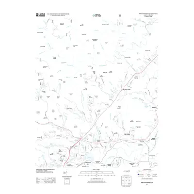
2013 Map of Pisgah Forest
USGS Topo · Published 2013About this map
The Davidson River corridor and its industrial-residential transitions anchor this landscape in the early 21st century. The map illustrates the concentration of development along the south, where the Ecusta settlement and the Pisgah Forest community sit near the river's bend. This area is characterized by a dense network of residential clusters like Benton Hills, White Oaks, and Mountain View, contrasting sharply with the northern forest reaches. The presence of the Transylvania County Airport and institutional sites like Eagle Nest Camp and Camp Carolina points to the region's established role as a recreational and transportation hub.
Find a feature on this map
240 named features on this map. Tap any name to fly to it.
Don’t see what you’re looking for? This feature index may not catch every label — zoom into the map to look around manually.
Map Details
Editions of this 2013 Pisgah Forest Map
This is the sole edition of this map. No revisions or reprints were ever made.
Other maps of this area

1905 · Pisgah
USGS Topo · 1:125,000

1906 · Pisgah
USGS Topo · 1:125,000

1935 · Cruso
USGS Topo · 1:24,000

1935 · Brevard
USGS Topo · 1:24,000

1935 · Standingstone Mtn.
USGS Topo · 1:24,000

1935 · Horse Shoe
USGS Topo · 1:24,000

1935 · Rosman
USGS Topo · 1:24,000

1935 · Shining Rock
USGS Topo · 1:24,000

1935 · Pisgah Forest
USGS Topo · 1:24,000

1936 · Skyland
USGS Topo · 1:24,000