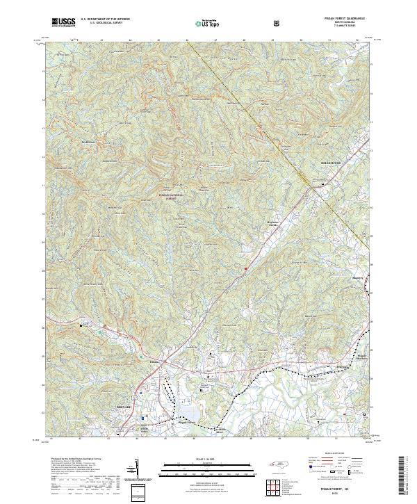
2022 Map of Pisgah Forest
USGS Topo · Published 2022About this map
Pisgah National Forest dominates this landscape, where the high ridges of Grindstone Ridge and Soapstone Ridge overlook a network of trout streams and gaps. The transition from the protected forest to the developed valleys is marked by the presence of industrial and community hubs like Ecusta and the larger town of Brevard to the southwest. Along the French Broad River and its many tributaries, including the South Mills River, local history is preserved in numerous family and community sites such as Boylston Baptist Church Graveyard and English Chapel Cem. The map reveals a complex system of historical transit, from remote river crossings at Wolf Ford to the modern Transylvania Community Airport. Between the high peaks of Clawhammer Mtn and the settlements of Mills River and Penrose, the terrain is etched with recreational and service trails like the South Mills River Trl and Turkey Pen Gap Trl.
Find a feature on this map
218 named features on this map. Tap any name to fly to it.
Don’t see what you’re looking for? This feature index may not catch every label — zoom into the map to look around manually.
Map Details
Editions of this 2022 Pisgah Forest Map
This is the sole edition of this map. No revisions or reprints were ever made.
Other maps of this area

1905 · Pisgah
USGS Topo · 1:125,000

1906 · Pisgah
USGS Topo · 1:125,000

1935 · Cruso
USGS Topo · 1:24,000

1935 · Brevard
USGS Topo · 1:24,000

1935 · Standingstone Mtn.
USGS Topo · 1:24,000

1935 · Horse Shoe
USGS Topo · 1:24,000

1935 · Rosman
USGS Topo · 1:24,000

1935 · Shining Rock
USGS Topo · 1:24,000

1935 · Pisgah Forest
USGS Topo · 1:24,000

1936 · Skyland
USGS Topo · 1:24,000