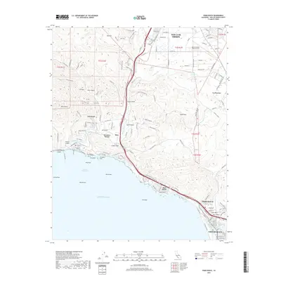
2018 Map of Pismo Beach
USGS Topo · Published 2018About this map
San Luis Obispo Creek winds through the coastal mountains of San Luis Obispo County, reaching the Pacific at Avila Beach. This 2018 survey illustrates a complex landscape of steep ridges and developed coastal communities, including Pismo Beach, Grover Beach, and Shell Beach. Inland, the Irish Hills and prominent peaks like Indian Knob and Mine Hill overlook canyons and ranch lands. The map details modern infrastructure alongside natural landmarks, from the San Luis County Regional Airport near the northern border to geological features like Fossil Point and Smugglers Cave along the shoreline. Local history is evidenced in the names of the landscape, such as the thermal waters at Ontario Hot Springs and the historic Price Canyon corridor, reflecting the area's long-standing transition from agrarian roots to a premier California coastal destination.
Find a feature on this map
116 named features on this map. Tap any name to fly to it.
Don’t see what you’re looking for? This feature index may not catch every label — zoom into the map to look around manually.
Map Details
Editions of this 2018 Pismo Beach Map
This is the sole edition of this map. No revisions or reprints were ever made.
Other maps of this area

1897 · Port Harford
USGS Topo · 1:62,500

1897 · San Luis Obispo
USGS Topo · 1:62,500

1897 · Cayucos
USGS Topo · 1:62,500

1897 · Arroyo Grande
USGS Topo · 1:62,500

1900 · San Luis
USGS Topo · 1:125,000

1937 · Cayucos
USGS Topo · 1:62,500

1941 · Port San Luis
USGS Topo · 1:62,500

1942 · San Luis Obispo
USGS Topo · 1:62,500

1942 · Arroyo Grande
USGS Topo · 1:62,500

1943 · Cayucos
USGS Topo · 1:62,500