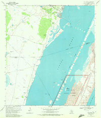
1969 Map of Pita Island
USGS Topo · Published 1972About this map
The coastal transition of the Texas shoreline unfolds across this late 1960s survey, dominated by the waters of Laguna Madre and the nascent Padre Island National Seashore. The landscape is a study in ranching and resource extraction, where numerous family-named landmarks such as Los Cedros Windmill, Guajolote Windmill, and Acuna Windmill are scattered across the western terrain near Laguna Larga. These windmills signify the critical role of water management in a region where the dry prairie meets the hypersaline lagoon.
Find a feature on this map
36 named features on this map. Tap any name to fly to it.
Don’t see what you’re looking for? This feature index may not catch every label — zoom into the map to look around manually.
Map Details
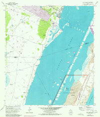
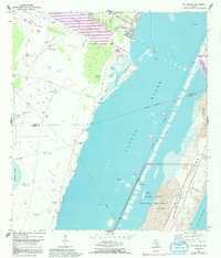
Editions of this 1969 Pita Island Map
3 editions found
Other maps of this area

1925 · Oso Creek
USGS Topo · 1:62,500

1950 · Corpus Christi
USGS Topo · 1:250,000

1951 · South Bird Island
USGS Topo · 1:24,000

1951 · Crane Islands NW
USGS Topo · 1:24,000

1951 · South Bird Island NW
USGS Topo · 1:24,000

1951 · Oso Creek NW
USGS Topo · 1:24,000

1951 · Oso Creek NE
USGS Topo · 1:24,000

1951 · Crane Islands SW
USGS Topo · 1:24,000

1951 · Oso Creek
USGS Topo · 1:62,500

1951 · Crane Islands
USGS Topo · 1:62,500