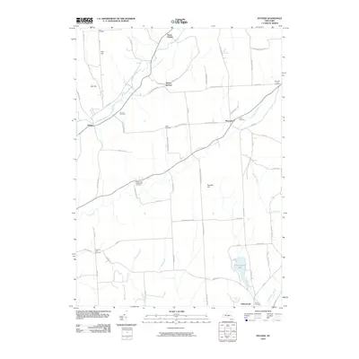
2010 Map of Pitcher
USGS Topo · Published 2010About this map
The Otselic River winds through this rural Chenango County landscape, connecting the small settlements of Pitcher and North Pitcher. This topographic survey reveals a series of family-named landmarks and upland terrain, including Oak Hill and Pink Hill in the northwest, which transition into the agricultural plateaus of Pharsalia. Local history is deeply etched into the land here through its numerous burial grounds, such as Pink Cemetery and the Brakel Valley Churchyard Cemetery, alongside roads named for established local families like George Beardsley Rd and Ralph Brown Rd. In the southern portion of the quadrangle, the headwaters of Five Streams and Strongs Brook drain toward McDonough, while Genegantslet Lake provides a notable water feature at the edge of the Genegantslet Creek valley.
Find a feature on this map
67 named features on this map. Tap any name to fly to it.
Don’t see what you’re looking for? This feature index may not catch every label — zoom into the map to look around manually.
Map Details
Editions of this 2010 Pitcher Map
This is the sole edition of this map. No revisions or reprints were ever made.
Other maps of this area

1902 · Coventry
USGS Topo · 1:62,500

1903 · Norwich
USGS Topo · 1:62,500

1904 · Greene
USGS Topo · 1:62,500

1904 · Oxford
USGS Topo · 1:62,500

1904 · Pitcher
USGS Topo · 1:62,500

1943 · Otselic
USGS Topo · 1:24,000

1943 · South Ostelic
USGS Topo · 1:24,000

1943 · Cincinnatus
USGS Topo · 1:24,000

1943 · East Pharsalia
USGS Topo · 1:24,000

1943 · Cuyler
USGS Topo · 1:24,000