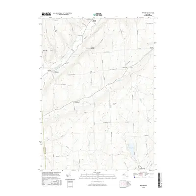
2016 Map of Pitcher
USGS Topo · Published 2016About this map
The Otselic River and Brakel Cr carve through the high terrain of eastern Chenango County, defining a landscape of agricultural valleys and wooded ridges. In this 2016 record, the small settlements of North Pitcher, Pitcher Springs, and Pharsalia remain centered around historic crossroads, while the lower reaches of the map toward McDonough are marked by the presence of Genegantslet Lake.
Find a feature on this map
83 named features on this map. Tap any name to fly to it.
Don’t see what you’re looking for? This feature index may not catch every label — zoom into the map to look around manually.
Map Details
Editions of this 2016 Pitcher Map
This is the sole edition of this map. No revisions or reprints were ever made.
Other maps of this area

1902 · Coventry
USGS Topo · 1:62,500

1903 · Norwich
USGS Topo · 1:62,500

1904 · Greene
USGS Topo · 1:62,500

1904 · Oxford
USGS Topo · 1:62,500

1904 · Pitcher
USGS Topo · 1:62,500

1943 · Otselic
USGS Topo · 1:24,000

1943 · South Ostelic
USGS Topo · 1:24,000

1943 · Cincinnatus
USGS Topo · 1:24,000

1943 · East Pharsalia
USGS Topo · 1:24,000

1943 · Cuyler
USGS Topo · 1:24,000