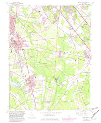
1966 Map of Pitman East
USGS Topo · Published 1982About this map
Glassboro State College anchors the western portion of this 1966 survey, serving as a focal point for the growing residential districts of Glassboro. The landscape is a mix of dense suburban development and significant natural preserves, most notably the expansive Glassboro Wildlife Management Area that occupies the central woodland. To the north, the communities of Pitman and Washington show established neighborhoods surrounding water bodies like Bells Lake and Kandle Lake.
Find a feature on this map
77 named features on this map. Tap any name to fly to it.
Don’t see what you’re looking for? This feature index may not catch every label — zoom into the map to look around manually.
Map Details
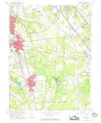
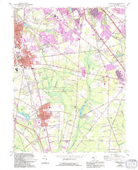
Editions of this 1966 Pitman East Map
3 editions found
Other maps of this area

1888 · Mount Holly
USGS Topo · 1:62,500

1890 · Hammonton
USGS Topo · 1:62,500

1890 · Glassboro
USGS Topo · 1:62,500

1891 · Philadelphia
USGS Topo · 1:62,500

1894 · Hammonton
USGS Topo · 1:62,500

1894 · Mount Holly
USGS Topo · 1:62,500

1894 · Philadelphia
USGS Topo · 1:62,500

1896 · Philadelphia
USGS Topo · 1:62,500

1898 · Glassboro
USGS Topo · 1:62,500

1898 · Philadelphia
USGS Topo · 1:62,500