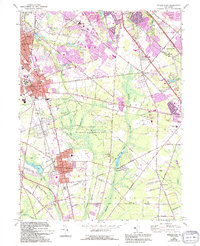
1966 Map of Pitman East
USGS Topo · Published 1994About this map
Glassboro and Pitman anchor this mid-century look at Gloucester County, showcasing a landscape transitioning from agricultural and educational roots toward suburban expansion. The campus of Glassboro State College serves as a major regional landmark, while the Pennsylvania-Reading Seashore Lines provides the primary rail corridor connecting these inland communities. To the south, the Glassboro State Wildlife Management Area and Scotland Run Park preserve significant tracts of the Atlantic coastal plain, surrounding water bodies like Wilson Lake. Smaller crossroads like Fries Mill and Star Cross reflect the traditional rural settlement patterns that predated the arrival of the Atlantic City Expressway visible in the northeast corner. This 1966 survey, revised through 1994, captures the area during a period of infrastructure growth, evidenced by the development of Cross Keys Airfield and numerous suburban housing tracts branching off Delsea Drive.
Find a feature on this map
95 named features on this map. Tap any name to fly to it.
Don’t see what you’re looking for? This feature index may not catch every label — zoom into the map to look around manually.
Map Details
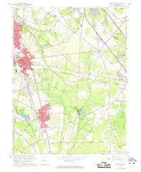
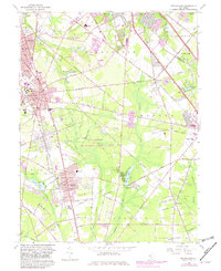
Editions of this 1966 Pitman East Map
3 editions found
Other maps of this area

1888 · Mount Holly
USGS Topo · 1:62,500

1890 · Hammonton
USGS Topo · 1:62,500

1890 · Glassboro
USGS Topo · 1:62,500

1891 · Philadelphia
USGS Topo · 1:62,500

1894 · Hammonton
USGS Topo · 1:62,500

1894 · Mount Holly
USGS Topo · 1:62,500

1894 · Philadelphia
USGS Topo · 1:62,500

1896 · Philadelphia
USGS Topo · 1:62,500

1898 · Glassboro
USGS Topo · 1:62,500

1898 · Philadelphia
USGS Topo · 1:62,500