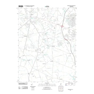
2011 Map of Pitman West
USGS Topo · Published 2011About this map
The waters of Raccoon Creek and its tributaries define this Gloucester County landscape, feeding a network of local reservoirs and ponds including Mullica Hill Pond and Alcyon Lake. The settlement patterns reflect a transition from small agriculture and milling centers to modern residential expansion, with historic place names like Pine Tavern, Avis Mills, and Jessups Mill appearing alongside growing communities such as Mullica Hill, Pitman, and Richwood. Agriculture remains a presence in the region, evidenced by the Mount Pleasant Orchards near the center of the sheet.
Find a feature on this map
180 named features on this map. Tap any name to fly to it.
Don’t see what you’re looking for? This feature index may not catch every label — zoom into the map to look around manually.
Map Details
Editions of this 2011 Pitman West Map
This is the sole edition of this map. No revisions or reprints were ever made.
Other maps of this area

1890 · Salem
USGS Topo · 1:62,500

1890 · Glassboro
USGS Topo · 1:62,500

1891 · Philadelphia
USGS Topo · 1:62,500

1894 · Chester
USGS Topo · 1:62,500

1894 · Philadelphia
USGS Topo · 1:62,500

1896 · Philadelphia
USGS Topo · 1:62,500

1896 · Chester
USGS Topo · 1:62,500

1898 · Salem
USGS Topo · 1:62,500

1898 · Glassboro
USGS Topo · 1:62,500

1898 · Chester
USGS Topo · 1:62,500